


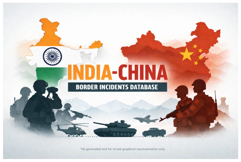
Introducing the next story map “The India-China Border Incidents Database” an open-access project of Takshashila Institution. It is an interactive mapping database of major clashes, standoffs, and intrusions along the Line of Actual Control (LAC), spanning 1959 to 2022.
At present the database geospatially maps incidents from Longju to Yangtse, placing each event where it actually happened, on the ground, on the map.
The past is not fixed, it sharpens with evidence. Soon, even the missing pieces will return to the map. This database is only growing richer. Stay tuned to the StoryMap series.
As we move through 2026
the Takshashila Geospatial Bulletin will be covering topics of high strategic interest across two formats:
Geospatial Bulletin - longer research articles with in-depth geospatial analysis
Geospatial Snapshots - shorter, interactive communications like story maps and visual explainers.
No separate subscription needed, if you’re here, you have access to both.
If you missed the previous StoryMap, Iran at a Tipping Point, you can explore it here.
If you found this useful, do share it with peers, colleagues, or anyone with an interest in the topic. And if you know researchers or readers who would benefit -- encourage them to subscribe to the Takshashila Geospatial Bulletin. Follow me on LinkedIn and Twitter for other geospatial insights!
 | A guest post by
|